The GMAO Research Site
The Global Modeling and Assimilation Office (GMAO) supports NASA's Earth Science mission. Activities in Earth System modeling and data assimilation aim to maximize the impact of satellite observations on analyses and predictions of the atmosphere, ocean, land and cryosphere.
Science Snapshots
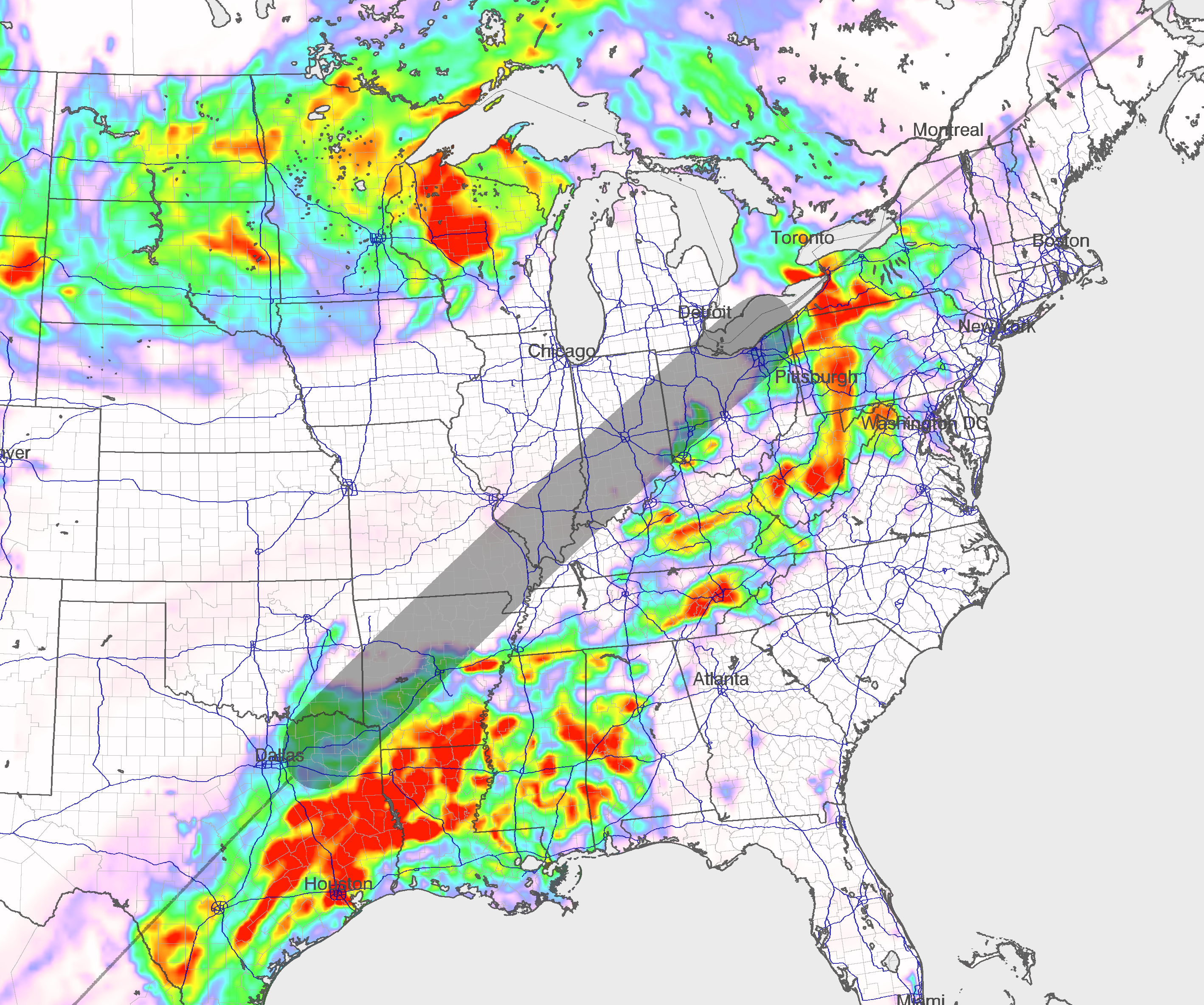
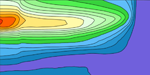
The 2024 Solar Eclipse is on April 8! See what the GMAO's weather models predict for the viewing conditions. Spoiler alert: they may not agree with the climatology.
1
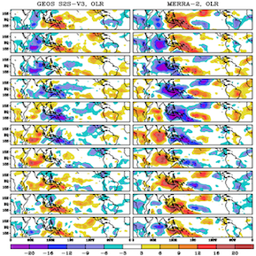
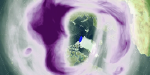
The GEOS-S2S Version 3 (GEOS-S2S-3) model is set to replace Version 2. Among the processes better captured with this update are the Madden-Julian Oscillation (MJO). Take a look at the development behind this improvement.
2
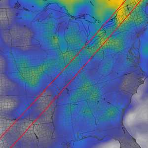
The Total Solar Eclipse is right around the corner! See what GEOS-IT systems indicate the visibility may be based on cloud cover climatology.
3
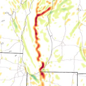
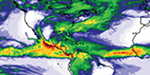
A significant lake effect snow event dumped almost 2 feet on the southern Lake Michigan shore. See how the GEOS-Exp 4km model nailed the forecast.
4

 Third ROSES-23 Proposal Accepted for GMAO by Reasearch Team Led by Richard Cullather on Ice Sheet Data Assimilation(4.11.24)
 GMAO Member Tom Clune Part of Accepted Proposal Team to Update Computing Capabilities and Software Infrastucture (4.10.24)
 GMAO Investigators Andrea Molod, Abdullah Fahad and Atanas Trayanov Members of Proposal Team Selected by the MAP 2023 Program (4.9.24)