Weather Analysis & Prediction
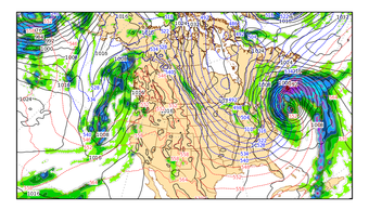
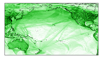
To support NASA’s satellite missions and field experiments, GMAO generates near-real time atmospheric products using GEOS and distributes them to a broad community of users. While these products emphasize the traditional aspects of weather analysis and forecasting, they have a broader scope that includes aerosols and trace gases. To enhance the quality of these near-real-time products, GMAO conducts research and development activities into atmospheric data assimilation and forecast model development.
» See GEOS FP Weather Analyses and Forecasts.
» Read more about GEOS-CF
» See GEOS-CF Forecasts
The GEOS "Forward Processing for Instrument Teams" (FP-IT) system generates analyses and assimilation products, but no forecasts. GEOS FP-IT processing uses a "semi-frozen" GEOS system to ensure long-term continuity and reproducibility, which is a requirement of the main users — the NASA Instrument Teams who use these analyses in their data processing algorithms. Reprocessing of historical periods using the FP-IT system is conducted as needed, in coordination with Instrument Teams.
GEOS product generation uses HEC resources at Goddard Space Flight Center's NASA Center For Climate Simulation (NCCS).


