July - August 2024 Saharan Dust Transport
During the summer months, tropical waves loft mineral dust into the atmosphere over the Sahara Desert, creating the dry and dusty Saharan Air Layer. On a timescale of less than a week, the easterly flow of the atmosphere can transport Saharan dust across the Atlantic Ocean and to the Americas. Tracking this transport is crucial because the dust not only benefits marine life by supplying essential nutrients, but also harms humans by posing respiratory and cardiovascular health risks.
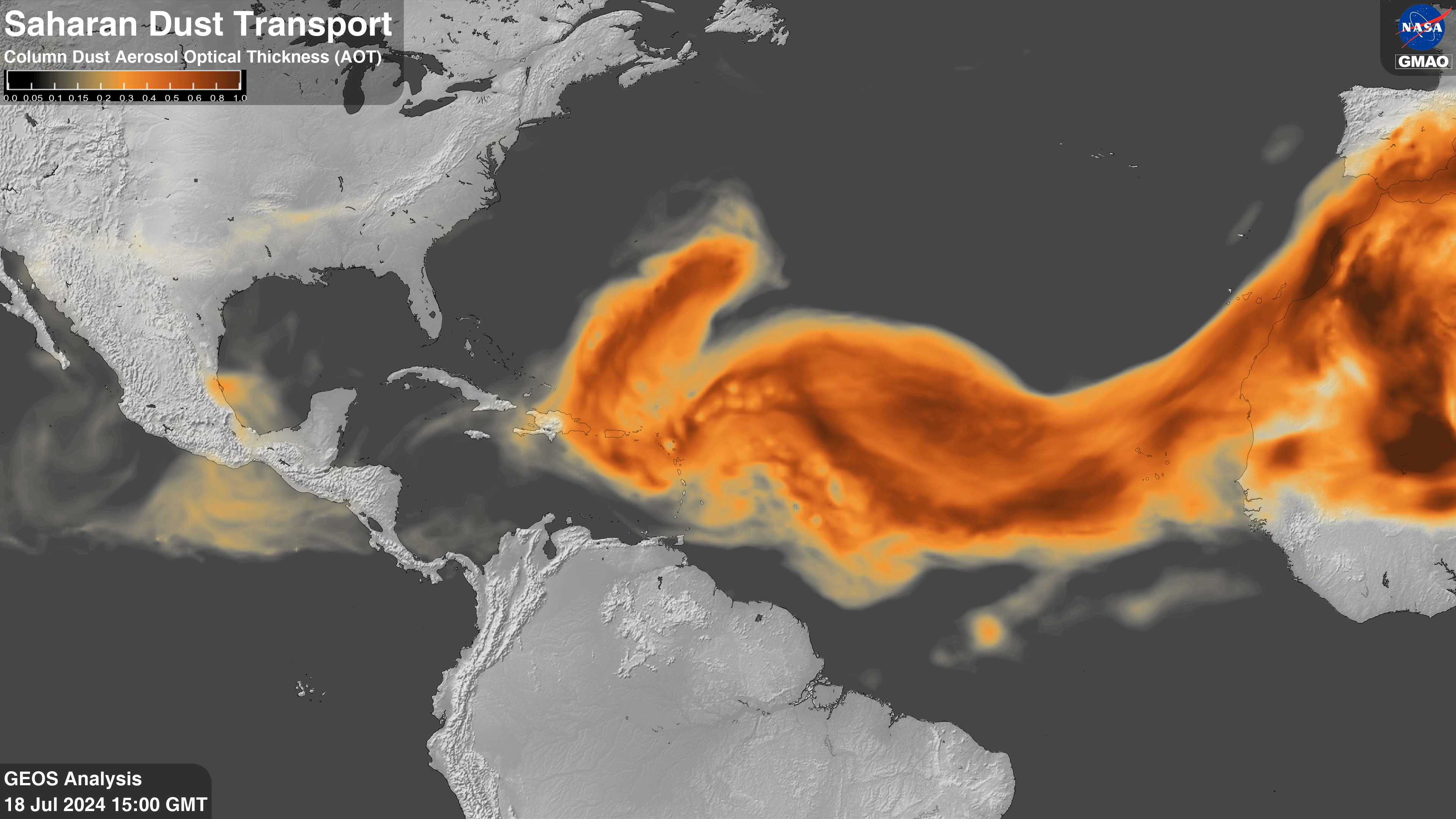
With its interactive aerosol module, the Goddard Earth Observing System (GEOS) model is a valuable tool for analyzing and forecasting the transport of Saharan dust. The animation below demonstrates the conveyance of six different aerosol species within the atmosphere using aerosol optical depth (AOD) from the GEOS Forward Processing (GEOS FP) model during July and August of 2024. AOD from satellite-based (MODIS) and ground-based (AERONET) measurements are assimilated every three hours to bring the model closer to observations; this adjustment is seen as abrupt changes in the animation.
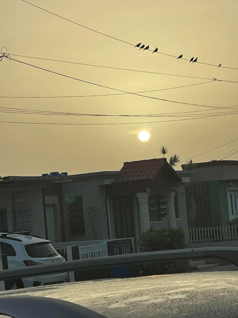
This summer, dust emission was very active and impacted the Caribbean Islands, Mexico, and the southeastern United States. As seen in the animation, pulses of dust are emitted over the Sahara Desert and then transported across the Atlantic Ocean every few days. This emission-transport process occurred repeatedly and degraded the air quality for many; along the transport pathway of the dust, skies turned orange over Puerto Rico (Picture 1), rain deposited dust in Florida, and multiple stations in the Dallas/Fort Worth, TX area reported the highest Air Quality Index in over 20 years associated with the Saharan dust on July 31 and August 1. Also noteworthy is the interaction between Hurricane Debby and the dust aerosol as indicated by the cyclonic rotation and reduction in dust heading towards Cuba on July 30.


