Hurricanes Helene and Milton Showcase the Range of Tropical Cyclone Hazards
Hurricanes Helene and Milton exemplified the variety of hazards which accompany tropical cyclones, and how no two storms are the same. Though both tropical cyclones underwent rapid intensification - each reaching Category 5 strength at points during their lifespan - and made landfall along the Gulf Coast of Florida, the majority of Helene’s damage was done by its intense rainfall, particularly inland; Milton, on the other hand, was most notable for the outbreak of tornadoes which accompanied it.

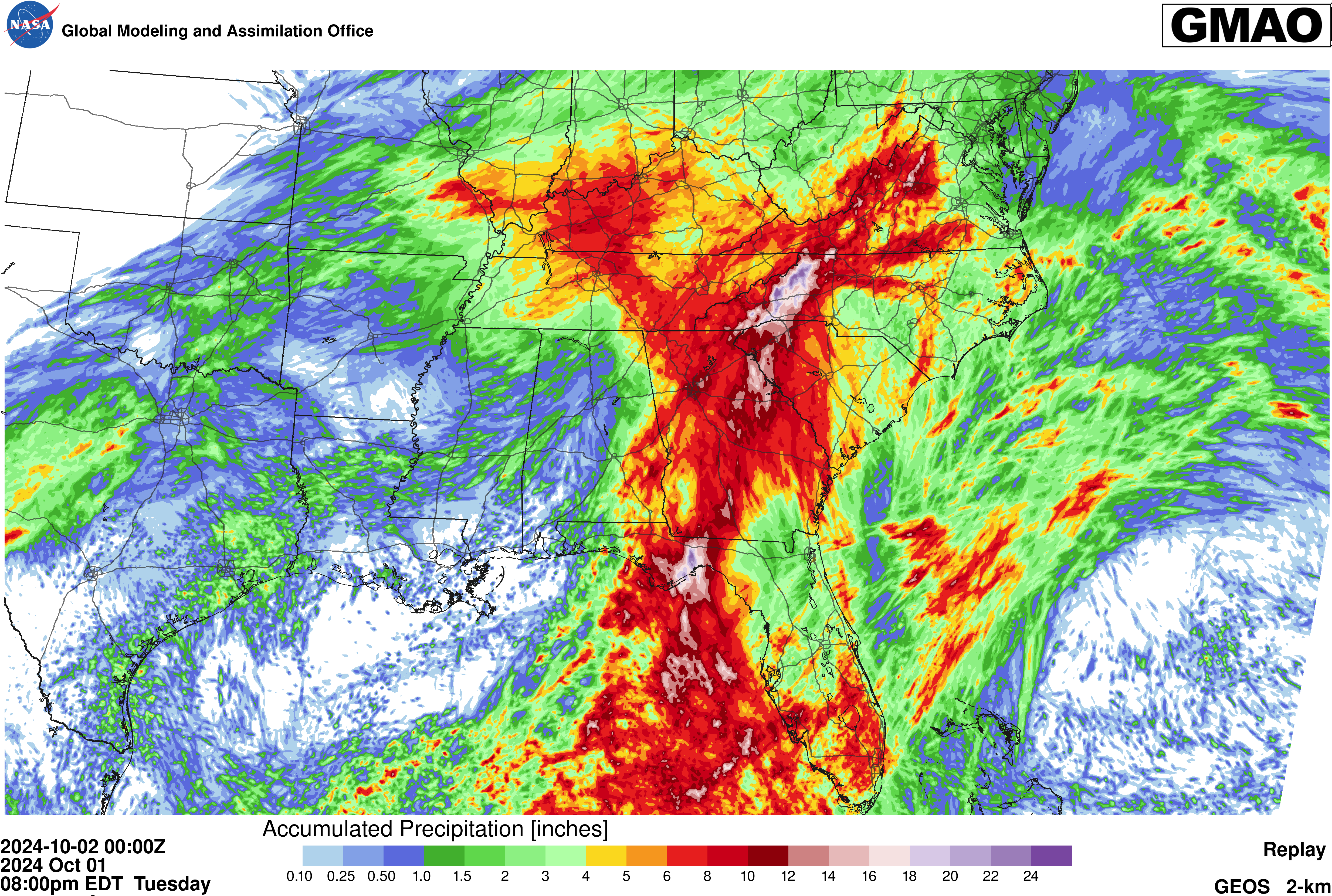
Landing as a Category 4 storm, Hurricane Helene brought rainfall totals eclipsing 30” in some areas, as orographic lift, synoptic-scale forcings, and a significant rainfall event just prior to Helene's arrival led to catastrophic flooding in parts of the Appalachians. This flooding was well-documented by the Goddard Earth Oberving Systems (GEOS), in particular GEOS-2km Experimental (shown in Figure 1 and Animation 1), which captured the record-breaking rainfall in western North Carolina as Helene stalled-out to the northwest of the region.
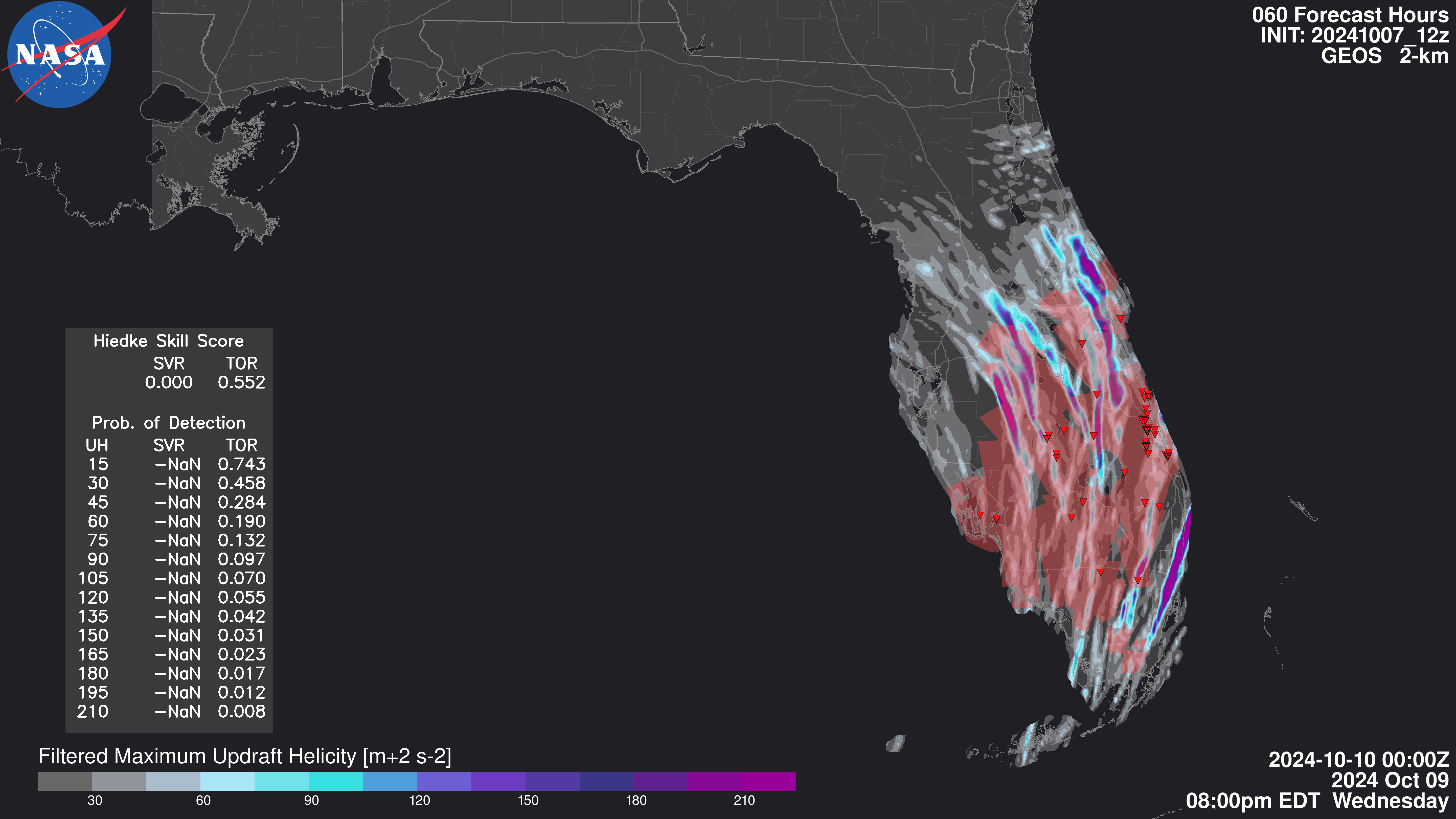
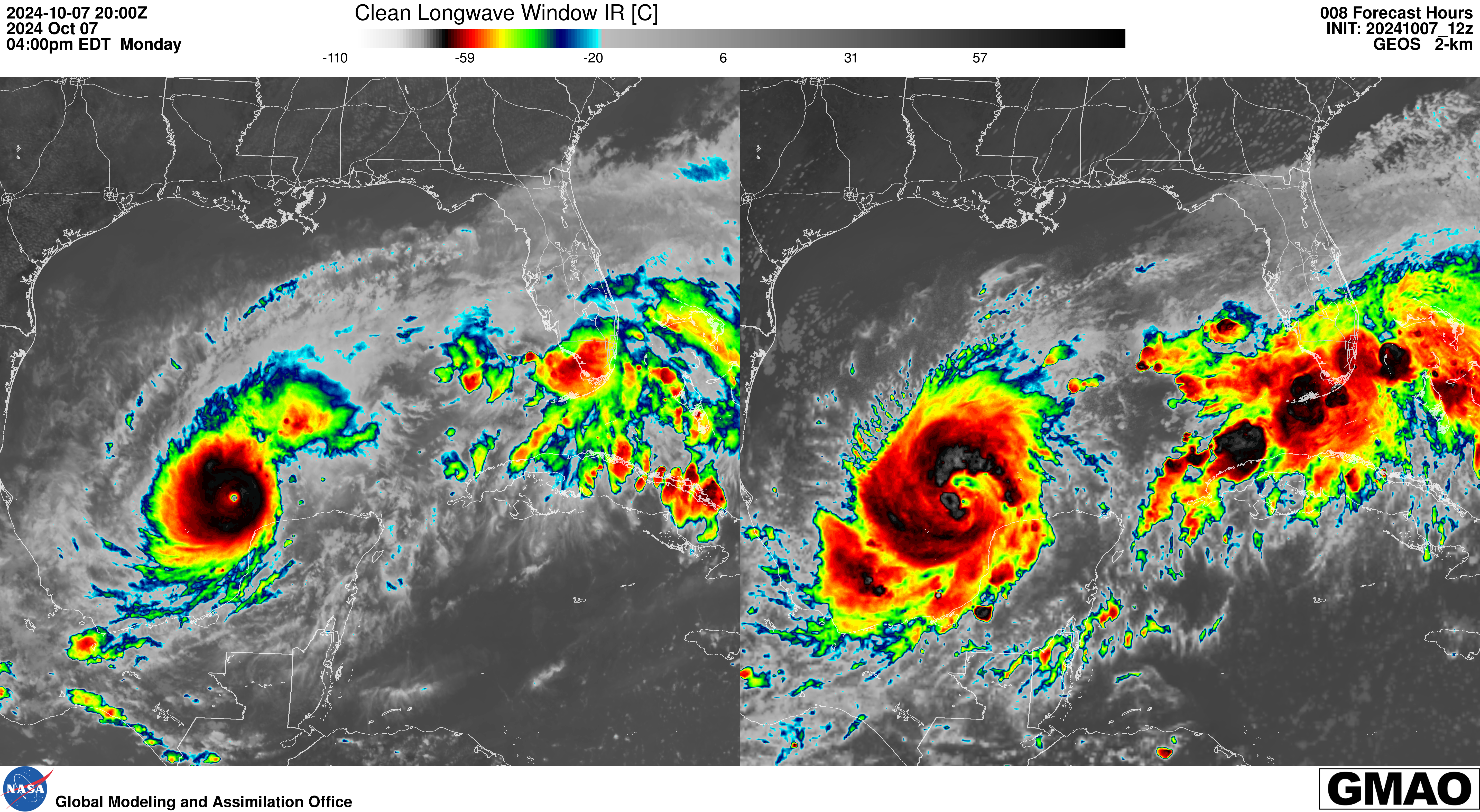
After dropping its central pressure 84 millibars in 24 hours, Milton recorded fifth lowest central pressure on record in the Atlantic basin, with a value of 897 mb on October 8th. Despite winds reaching up to 180mph, Hurricane Milton weakened enough before landfall to hit southwestern Florida as a Category 3 storm. The storm surge from Milton proved less severe than expected, but Milton rompted 126 tornado warnings across Florida. The GMAO’s GEOS-2km Experimental model forecasted that conditions would be present for a significant tornado outbreak associated with Milton.


