SHOUT Links
The NOAA UAS Program and the Office of Marine and Aviation Operations (OMAO) have been collaborating with the Airborne Science Program of the NASA Earth Science Division since 2008 to demonstrate and evaluate the benefits of UAS flying at high altitudes (i.e., >50,000 feet) and low altitudes (i.e., <18,000 feet) for scientific environmental data collection.
SHOUT seeks to demonstrate and test prototype UAS concept of operations that could be used to mitigate the risk of diminished high impact weather forecasts and warnings in the case of polar-orbiting satellite observing gaps.
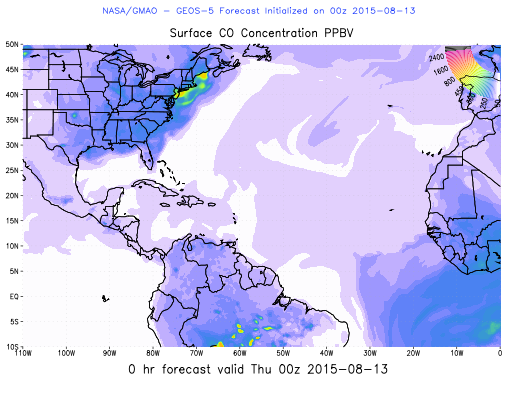
GMAO will support the August 2015 Dry Run flight planning for SHOUT NASA Global Hawk missions staged from the Wallops Flight Facility with forecast products similar to those for the previous HS3 campaigns.
Supporting Forecasts and Data
Web Viewers
- GEOS-5 Chemical and Aerosol Consituent Forecasts
from NASA Goddard's Atmospheric Chemistry and Dynamics Branch - GEOS-5 WMS Viewer (NCCS)
Google Earth (KML files)
Get Data
Download Tool:
OPeNDAP:
FTP (leave password blank)
IMPORTANT: Please note that these predictions are experimental and are produced for research purposes only. Use of these forecasts for purposes other than research is not recommended.


